Client: University of Michigan, Ann Arbor
The impact of ambient air quality on human health, such as respiratory disease or cardiovascular mortality and morbidity, has received an increasing attention in the epidemiology literature. Ideally, the exposure to outdoor pollution should be measured on an individual level by means of personal monitors. Most studies rely however on readily available monitoring network, such as the AIRS-EPA network, which requires the interpolation of pollutant concentrations at the residences of human subjects. Although many studies have illustrated the potential of geostatistics for modeling the space-time distribution of air quality variables, epidemiologists still favour the use of straightforward interpolation methods like Thiessen polygons or inverse square distance methods. A pressing question was whether kriging techniques improve over these simple deterministic methods for mapping the concentrations of six air pollutants (PM2.5, PM10, SO2, CO, O3, NO2) in the Los Angeles area where associations between long-term exposure to ambient air pollution and cardiovascular morbidity and mortality were recently found.
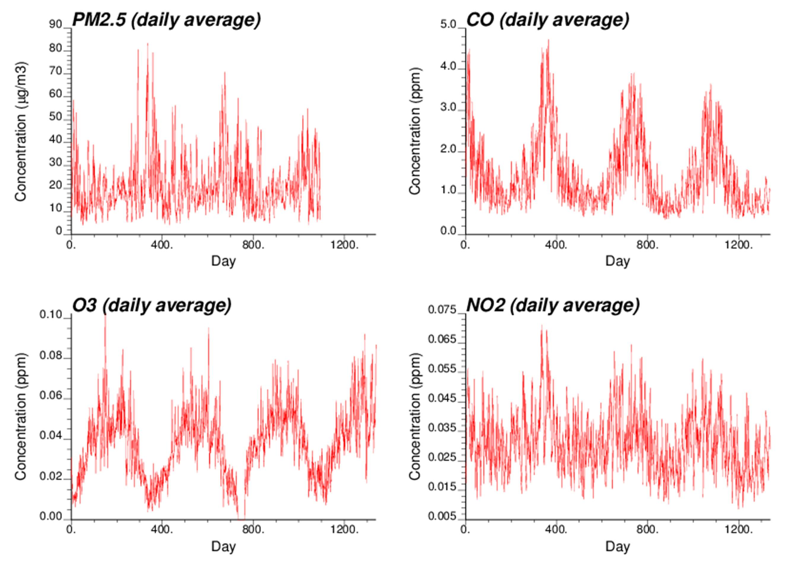
The objective of this study is to compare the performances of various methods to estimate daily concentrations of air pollutants at specific locations and times. The data available consist of time series of daily measurements recorded over 40 months and up to 15 stations for six air pollutants (PM2.5, PM10, SO2, CO, O3, NO2). The interpolation methods range from simple interpolation approaches, such as nearest neighbor and inverse square distance, to more sophisticated geostatistical techniques (i.e. kriging) that are purely spatial or account for pattern of space-time dependence.
Cross-validation indicates that for most pollutants the smallest prediction errors are obtained using space-time kriging after subtraction of the temporal trend in the data. The same methods were used to estimate the daily air pollutant concentrations at the location of 1283 patient for the period 4/27/2000 - 07/12/2002.
Goovaerts, P., Auchincloss, A., and A.V. Diez-Roux. 2006. Performance comparison of spatial and space-time interpolation techniques for prediction of air pollutant concentrations in the Los Angeles area. Proceedings of IAMG'2006, Liege, September 4-8.