
We showed that the likelihood of measuring water lead levels above the action level of 15 µg/L was significantly lower at State-controlled sentinel sampling sites relative to voluntary or homeowner-driven sampling sites.
A geostatistical approach was developed and implemented to map arsenic concentration at the parcel level and compute the probability of exceeding specific arsenic levels at the parcel and block-group levels.
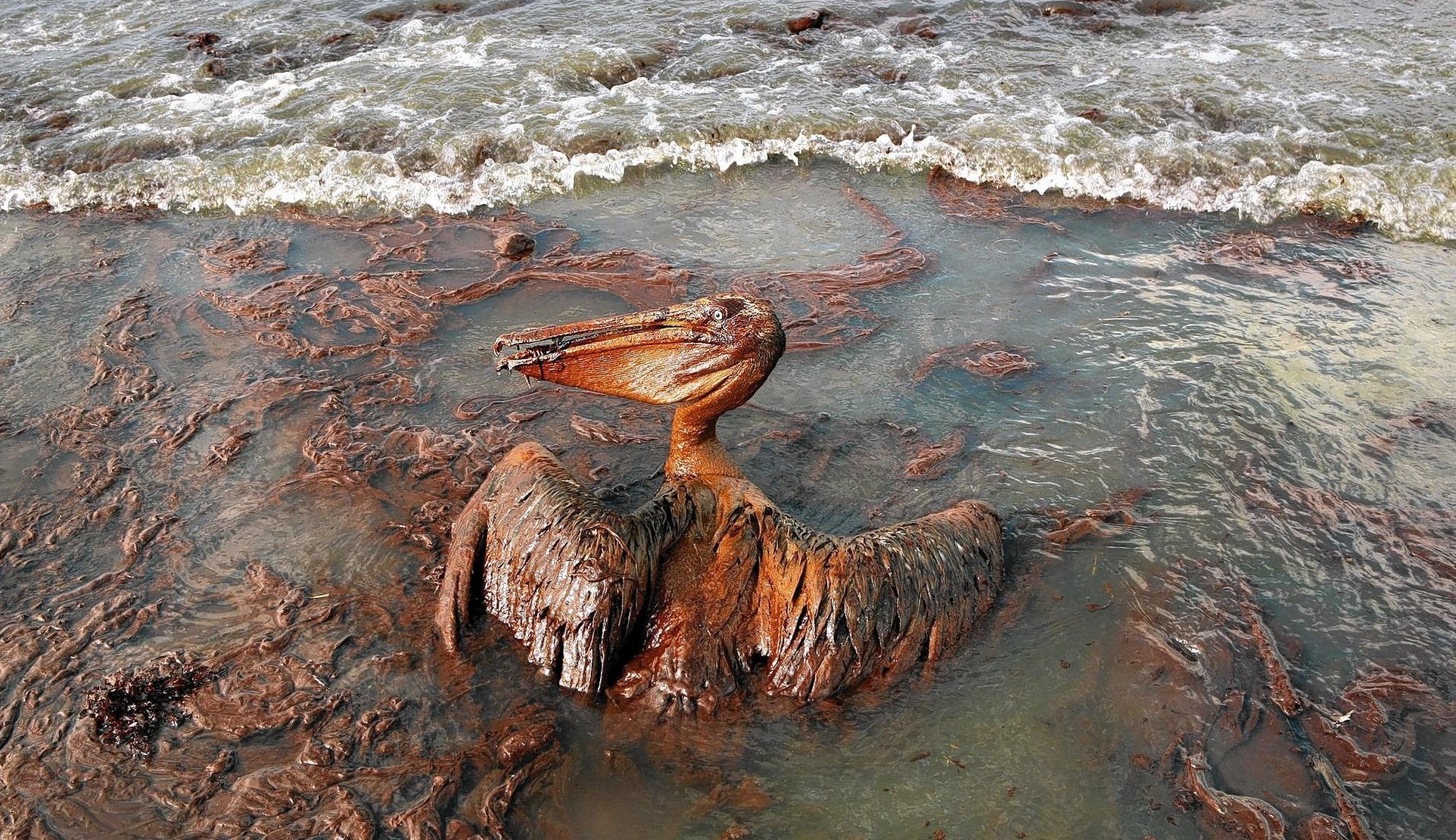
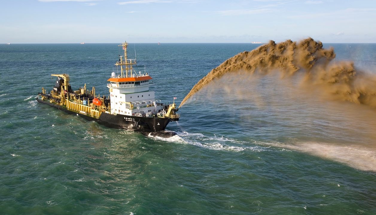
We developed estimates of the spatial extent and degree of oiling along Louisiana shorelines resulting from the Deepwater Horizon oil spill.

A geostatistical simulation-based methodology was developed to propagate uncertainty about agricultural productions through the upscaling of farm statistics to the scale of the output of meteorological models.
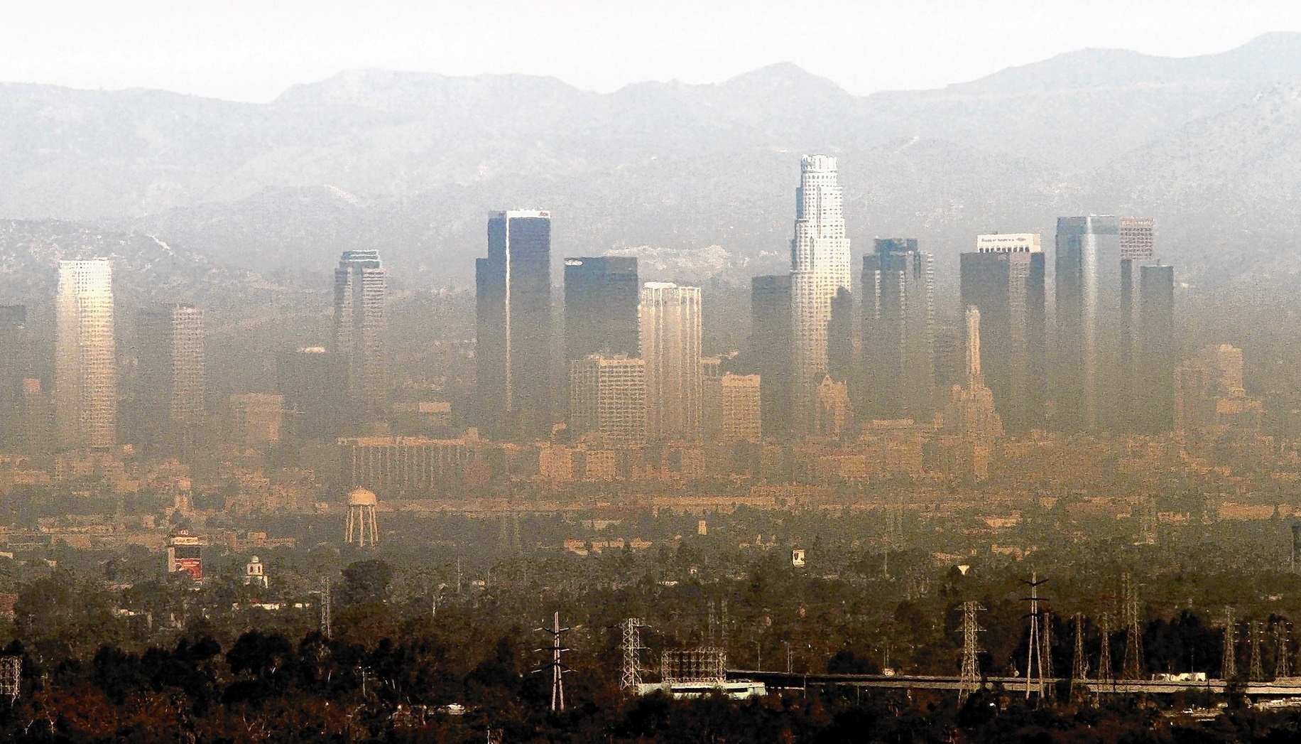
We compared the performances of various methods to estimate daily concentrations of six air pollutants (PM2.5, PM10, SO2, CO, O3, NO2) at specific locations and times in the Los Angeles area.
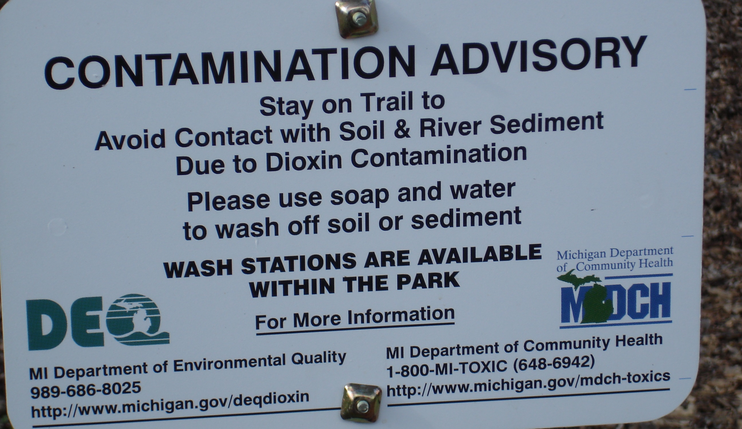
We delineated areas with high level of dioxin around the Dow Chemical Company facility in Midland, Michigan.

We prepared a series of data sets for testing syndromic surveillance methods and developed an interface that enables NYC DOHMH to generate new simulated outbreaks as needed.

We mapped the spatial distribution of 43 different soil pollutants (organic and inorganic) over the entire Walloon region (16,844 km2) in Belgium.
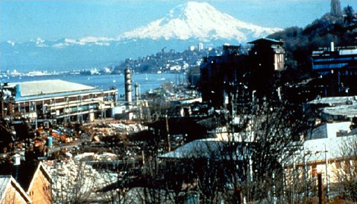
We have modeled the three-dimensional distribution of pollutants and estimated the total volume of sediments to be removed for multiple sites distributed across the Great Lakes Region.
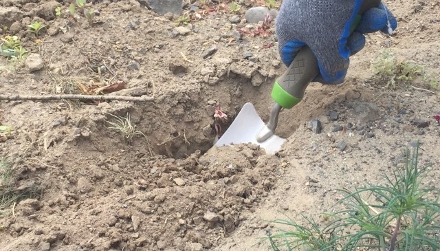
We established the range of background (BG) arsenic concentrations in soil on a private property and mapped the maximum depths at which arsenic and lead in soil exceed their background levels on that property.

We developed advanced geostatistical techniques for soil mapping at high spatial resolution, accounting for multiple sources of secondary information such as digital elevation model or thematic maps.
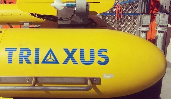
We illustrated how geostatistics can help quantify and compare the spatial variability of Lake Michigan nearshore data collected by Triaxus.
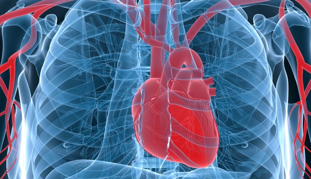
Design of experiments was conducted to assess the risks of failure of life sustaining medical devices and confidence levels under various scenarios.